CCTV Survey and Jetting of Drainage System with GPS Data Mapping
Introduction
The purpose of this case study is to provide an overview of a project involving CCTV survey and jetting of a drainage system, coupled with GPS data mapping. This project aimed to assess the condition of the drainage system, identify any blockages or damages, and create an accurate map using GPS technology.
Objective:
The objective of this project was to conduct a comprehensive survey of the drainage system using CCTV cameras, perform necessary jetting to clear any blockages, and create a detailed map of the system using GPS data. The findings from the survey and mapping would help in identifying problem areas, facilitating efficient maintenance, and planning future improvements.
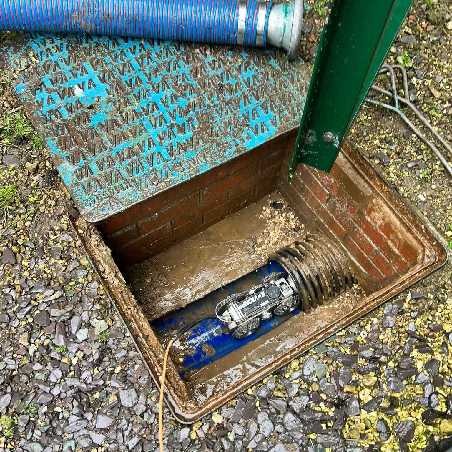
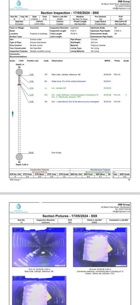
CCTV Survey: Specialised CCTV cameras were deployed to inspect the interior of the drainage system. The IPek cameras captured high-resolution footage, allowing the team to visually assess the condition of the pipes, identify blockages, leaks, cracks, and other structural defects.
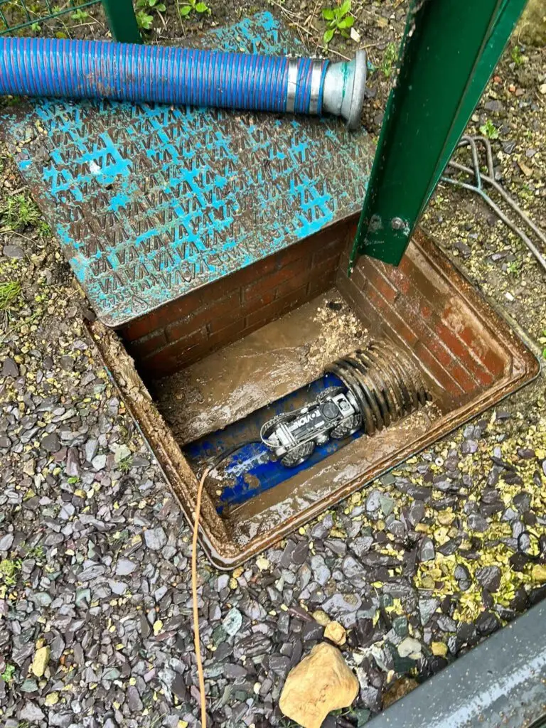
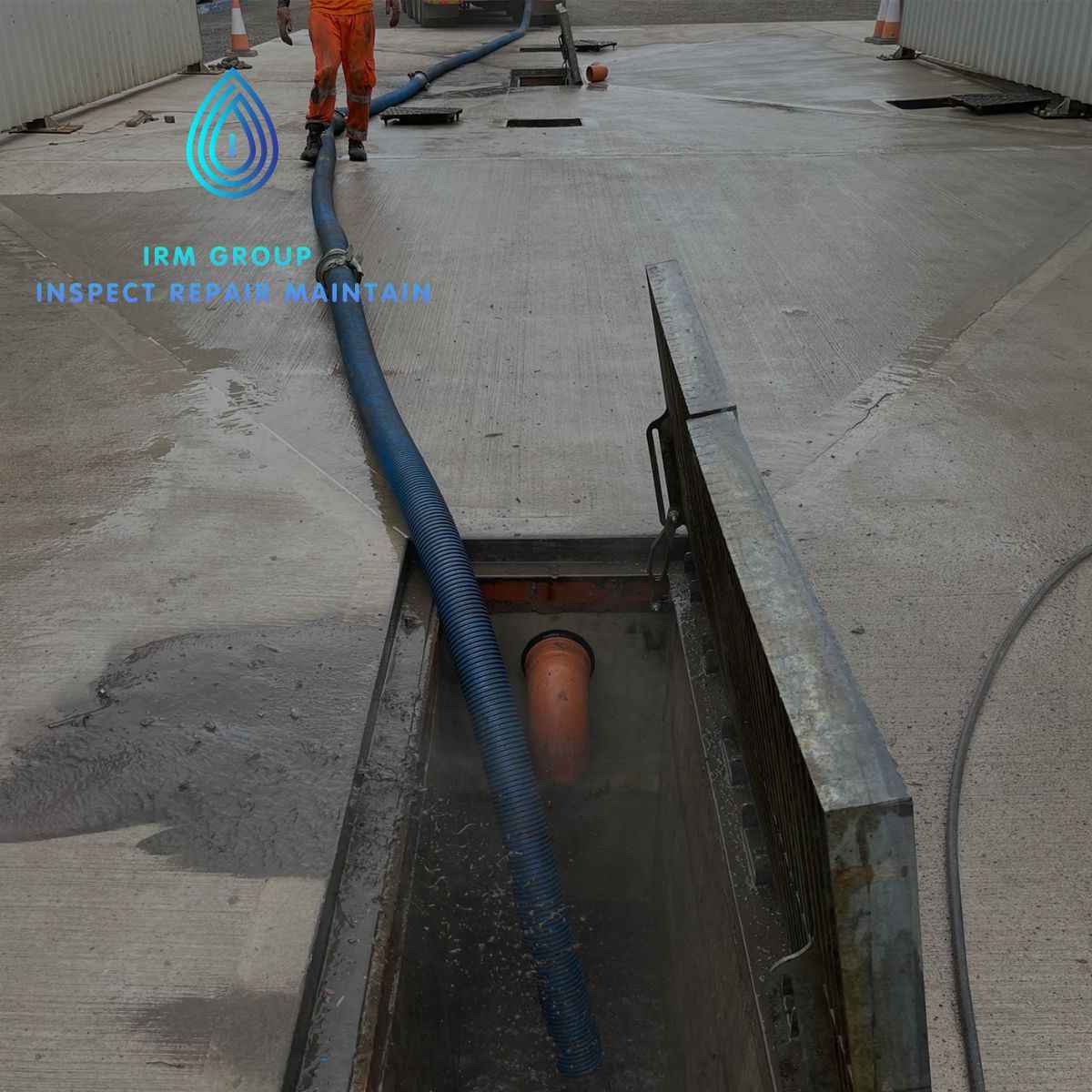
Blockage Identification and Jetting: Any blockages detected during the CCTV survey were marked, and a jetting team using the RTN Recycler was deployed to clear the blockages. High-pressure water jets were used to dislodge debris, sediments, and other obstructions, restoring the flow of water within the drainage system.
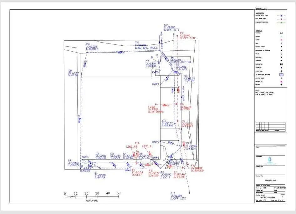
GPS Data Mapping: Simultaneously, a GPS data mapping team collected precise location data of the drainage system. This involved using GPS-enabled devices to record the coordinates of critical points, manholes, inspection chambers, and other relevant features. The collected data was then processed and integrated into a digital map.
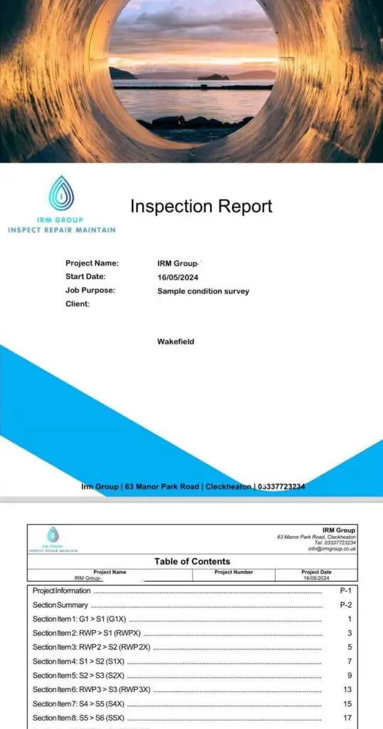
Data Analysis and Reporting: The footage captured during the CCTV survey was thoroughly analysed to identify any recurring issues, assess the overall condition of the drainage system, and prioritise areas that require further attention. A comprehensive report was generated, highlighting the findings, recommendations for maintenance and repairs, and the updated digital map.
Results and Benefits:
Condition Assessment:
The CCTV survey provided a detailed assessment of the drainage system’s condition, enabling proactive maintenance and repairs. Identifying potential issues before they escalate helps prevent costly and disruptive incidents.
Blockage Removal:
The jetting process effectively cleared blockages, ensuring the uninterrupted flow of wastewater. This helped prevent flooding, foul odors, and other related problems.
Accurate Mapping:
The GPS data mapping resulted in an accurate and up-to-date digital map of the drainage system. This map provides essential information for maintenance teams, emergency response planning, and future infrastructure development.
Cost and Time Efficiency:
By using CCTV survey and GPS data mapping, the project team could efficiently identify and address issues, resulting in cost and time savings compared to traditional manual inspection methods.
Conclusion:
The combination of CCTV survey, jetting of drainage systems, and GPS data mapping proved to be an effective approach for assessing the condition of the drainage system, clearing blockages, and creating accurate digital maps. This project showcased the importance of utilising advanced technologies to ensure the optimal functioning and maintenance of critical infrastructure.
